

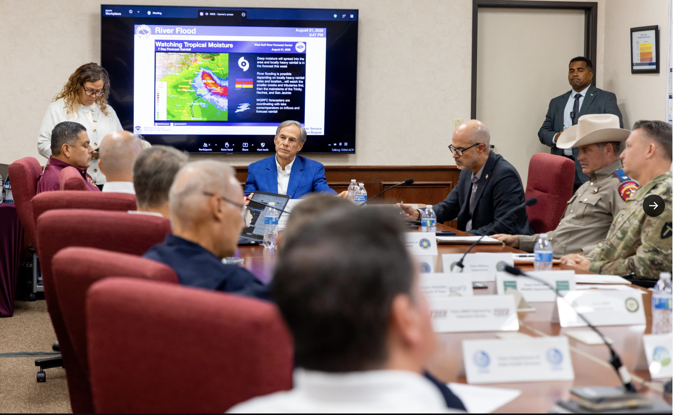
HOUSTON — Texas emergency officials moved quickly Monday evening after federal forecasters upgraded a Gulf tropical depression to Tropical Storm Edouard, setting the stage for a fast-moving flood threat expected to hit southeast Texas by Tuesday morning.
According to the National Hurricane Center, Edouard’s center sat about 175 miles southeast of Port Arthur as of 7 p.m. Monday, packing sustained winds near 40 mph and drifting west-northwest at 6 mph. Forecasters expect the storm to make landfall in southeast Texas as early as Tuesday morning, with the heaviest rain arriving around midday and continuing through the evening commute. Confidence remains high that Edouard will pass between High Island and Sabine Pass, putting the strongest winds and heaviest rain just east of Houston.
Rain is the main concern. The National Weather Service is forecasting 3 to 6 inches across areas along and east of Interstate 45, with some spots potentially seeing 6 to 9 inches and rainfall rates hitting 3 to 4 inches an hour at times. Governor Greg Abbott said local totals in the hardest-hit areas could climb as high as 10 to 15 inches.
Wind and surge remain secondary but real threats. Inland areas should expect sustained winds of 20 to 30 mph with gusts up to 45 mph starting mid-to-late Tuesday morning, and Abbott said winds could reach 60 mph at landfall. Coastal areas face a storm surge of 2 to 4 feet.
A flood watch now covers southeast Texas, including Harris and Galveston Counties, running from 1 a.m. Tuesday through 7 a.m. Wednesday. A tropical storm warning stretches from Port Bolivar into Louisiana, and a storm surge watch runs from High Island, Texas, to the Vermilion/Cameron Parish line in Louisiana.
Texas has already deployed rescue aircraft, boats, and high-water vehicles ahead of the storm. The state’s emergency operations center is active, backed by 1,500 state personnel on standby. Orlando Alanis, assistant director of the Texas Division of Emergency Management, said this storm gave the state unusually little warning. Texas typically gets five to seven days to prepare for a hurricane, but Edouard didn’t show potential Texas impacts until Sunday morning. Alanis called it the first big storm of the season and said Texas is ready for it regardless.
Several Houston-area school districts have already announced Tuesday closures, including Channelview, Galena Park, and Humble ISDs, with more districts expected to follow as forecasts firm up overnight.
Abbott also issued a direct safety warning to residents, particularly in Harris County. He said too many vehicles have been swept away in past storms and urged drivers to never attempt to cross flooded roadways, no matter how shallow the water looks.
Edouard is expected to push inland over eastern Texas through Tuesday and Wednesday before dissipating by early Thursday. Its remnants are forecast to carry rain as far north as the Dallas-Fort Worth area later in the week.
If you’re in the storm’s path, this is a sensitive and fast-moving situation. Stay tuned to local weather alerts, follow evacuation or closure guidance from your local officials, and never drive through flooded roads.